Putting Technology and Data to Work
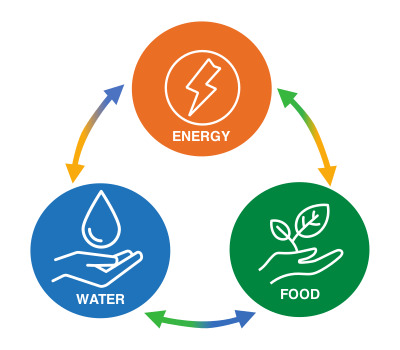
Global warming is causing more unpredictable and severe dry and rainy spells, with associated floods and droughts increasing losses for farmers. These challenges could be overcome, or at least alleviated, by applying technology and skillsets already in use at NGC and in the energy sector globally. Data captured by satellites, drones, and airbourne sensors could potentially be used in computer modelling and predictive analysis to help mobilise action ahead of these significant weather events. With enough input data, major instances of flooding, drought, and even pests or diseases can be mapped and tracked year-on-year to create vulnerability models and better guide planting. Software and partnerships managed by NGC’s Geospatial Information Services Department could help make such resources available to agricultural communities and stakeholders.
Featured photograph by energepic.com from Pexels. Used through a Creative Commons licence.